SP Inspects Boundary Line of Bangar, Tagudin
By: Jane T. Flores | By: GPC-SP | Date: February 7, 2019
The Sangguniang Panlalawigan (SP) through the SP Committee on Boundary Disputes chaired by Sangguniang Panlalawigan Member Francisco Paolo P. Ortega V jointly with the SP Committee on Laws, Rules and Privileges, chaired by Sangguniang Panlalawigan Member Reynaldo M. Mosuela conducted an ocular inspection to the boundary line between Bangar, La Union and Tagudin, Ilocos Sur on February 7, 2019.
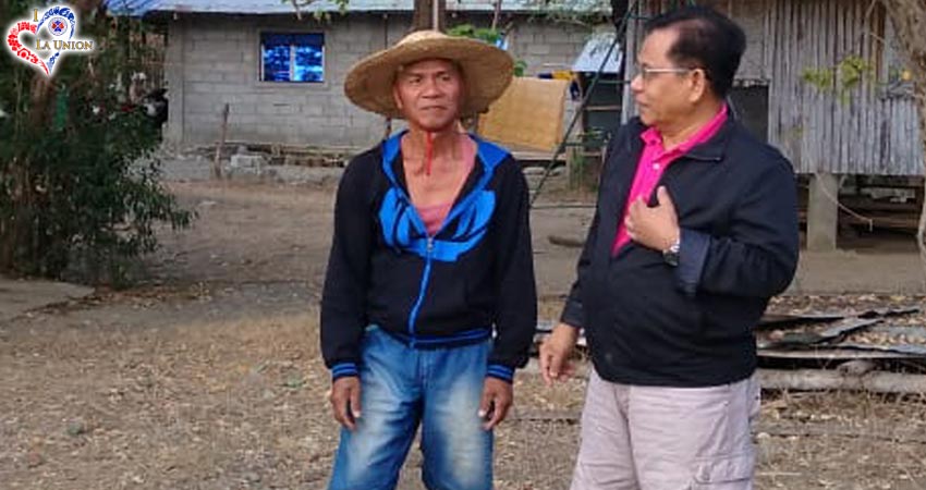
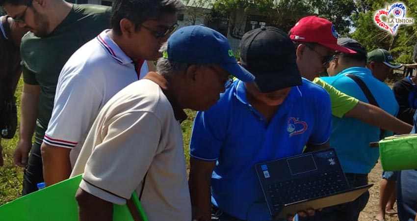
The joint committees, composed of the two Chairpersons and SPMs Jonathan Justo A. Orros, Gary N. Pinzon and Alyssa Kristine B. Sibuma, were joined by the Inspection Team from Provincial Environment and Natural Resources Office headed by Forrester Maximo Soriano, Jr., Local Government Unit of Bangar composed of the Municipal Engineer, Municipal Planning and Development Officer and the Barangay Officials and residents of barangays Gen. Prim West and Consuegra and a representative from the Provincial Assessor.
The inspection emanated from the Letter of Ms. Gretchen T. Villanueva, Sangguniang Bayan Secretary of Bangar, La Union, furnishing the SP of La Union, SP Resolution No. 069-XVII-2018 of Ilocos Sur calling for the establishment of the Boundary Line between the two provinces, particularly the area between the Municipalities of Bangar in La Union and Tagudin in Ilocos Sur. Said resolution specified that there had been reported quarrying activities along the said area amounting to millions of quarry products being extracted but not a single centavo was collected in almost two years from quarry operators inasmuch as there was no permit issued due to the ongoing legal problem on the boundary line.
Sangguniang Panlalawigan Member Francisco Paolo P. Ortega V mentioned that aside from the quarry fees, there is a need to determine the boundary line for taxation purposes. “If we will delay this, more millions will be lost especially to the concerned barangays and its residents, which could be used for their welfare,” SPM Ortega said.
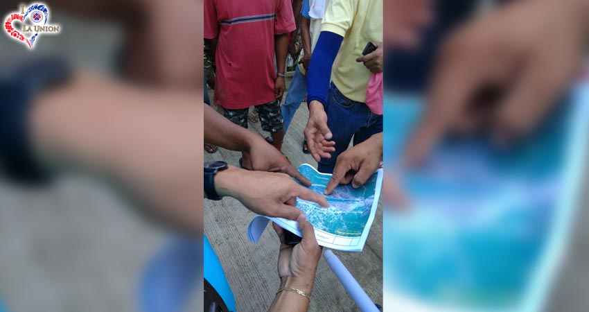
During the ocular inspection, on the basis of the old cadastral map, the barangay residents informed that the Provincial Boundary Monument 1 (PBM 1) could no longer be located as it was washed out during the previous floods and typhoons while PMB 2 was identified near Barangay Pudoc (Old Alzate) Elementary School and the PBM 3 was located at Barangay Consuegra.
Sangguniang Panlalawigan Member Reynaldo M. Mosuela explained that what the Joint Committee is trying to establish is the boundary line on the downstream portion of Tagudin and Bangar, as the upstream portion was already established between Tagudin and Sudipen.
In a separate interview, Provincial Assessor Arnulfo A. Cacho stressed that the Provincial Boundary Monument is not necessarily a point of determination of boundary but as a reference point only for verification and surveying purposes.
As of press time, there had not been any boundary case filed regarding the said area between the two concerned LGUs, and that the purpose of the inspection is to initially determine the boundary line and that the alleged point of reference was unofficial and the same had not been duly approved nor adopted. While said issue will be halted pending the conduct of the 2019 mid-term elections, the Joint Committee recommended that the concerned authorities from Bangar, La Union would have to prepare all evidences, such as boundaries of tax declarations of concerned lots, tax receipts as well as testimonies of concerned residents in time for the joint meeting of the LGUs concerned after the elections.